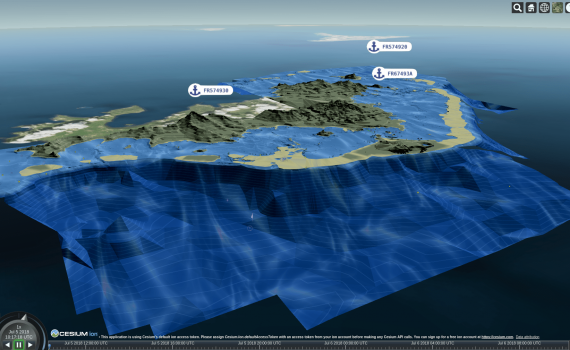
Before we start here is a first screenshot to open your appetite and demonstrate what can be done with 3D Tiles and 2D S-57 marine navigation data. Augmented Reality Marine Chart produced by Examind Server Specification status The 3D Tiles format has been around for a few years as part […]
Monthly archives: July 2018
2 posts
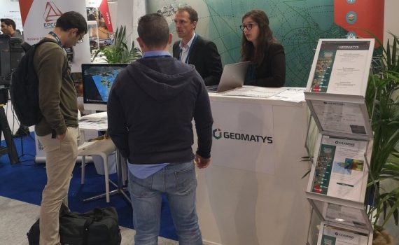
A ponctuated June month at Geomatys Little present on the shows in recent years, Geomatys has decided to boost its communication. The goal? Promote the company and its Examind software suite. Geospatial data processing software that integrates easily into your information systems. Already used by major companies (Airbus DS, Naval […]